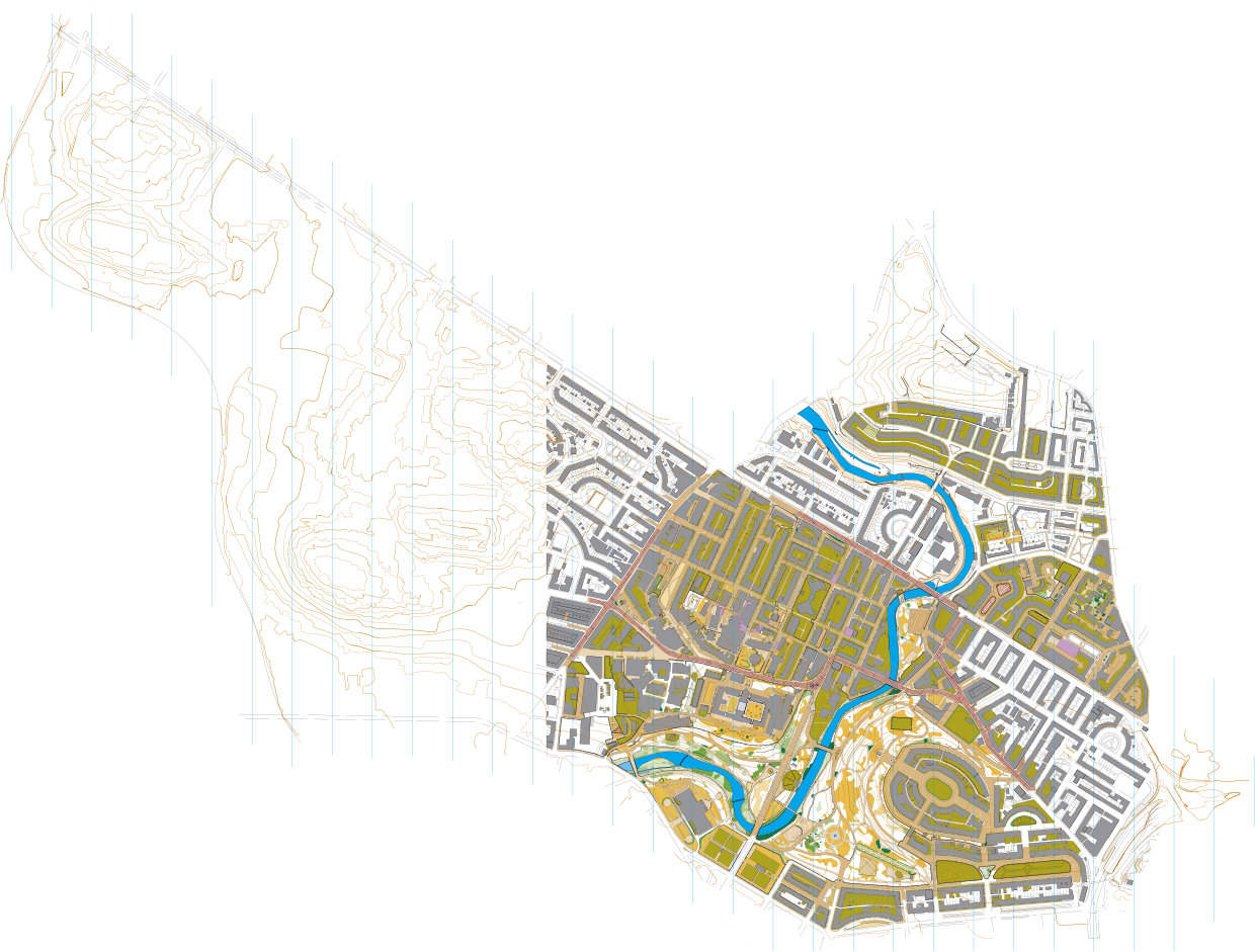
Kelvin South (University of Glasgow and Kelvingrove Park) orienteering map
The “Kelvin South” map (2.5 km², CLYDE), covers the University of Glasgow’s Gilmorehill campus, Kelvingrove Park, North Kelvinside up to Maryhill Road, and extends east to (and slightly beyond) the M8 into Garnethill. It joins seamlessly with the “Kelvin North” map produced in 2024 (3.2 km², CLYDE), together forming a large, continuous urban-O map of Glasgow’s West End.
Parts of the area had been mapped previously (for example by Simon Gardner circa 2014), but the Kelvin South map was surveyed and drawn entirely from scratch in 2025, using Phase 5 LiDAR data for Scotland, as an urban sprint map to ISSprOM 2019-2 standard.
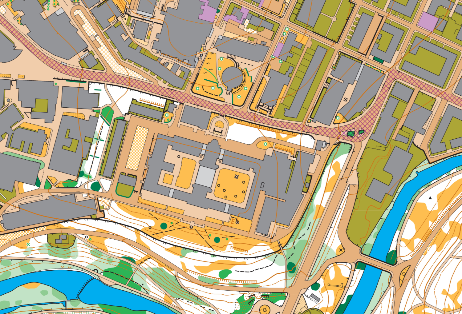
The area presents a demanding mix of dense urban terrain, complex university buildings, and parkland, requiring careful and consistent generalisation. Urban areas were drawn strictly to ISSprOM 2019-2, with highly stylised contours to emphasise shape and runnability, while the parkland retains slightly greater contour detail where appropriate. Throughout, particular attention was paid to maintaining correct symbolisation, clear gaps, and good legibility at race speed.
The map was first used for the 26th Glasgow Parks Championships on 30 November 2025 (a joint STAG/CLYDE event), where it received positive feedback for clarity and navigability. It was also used for a local CLYDE event centred on the Inn Deep pub.