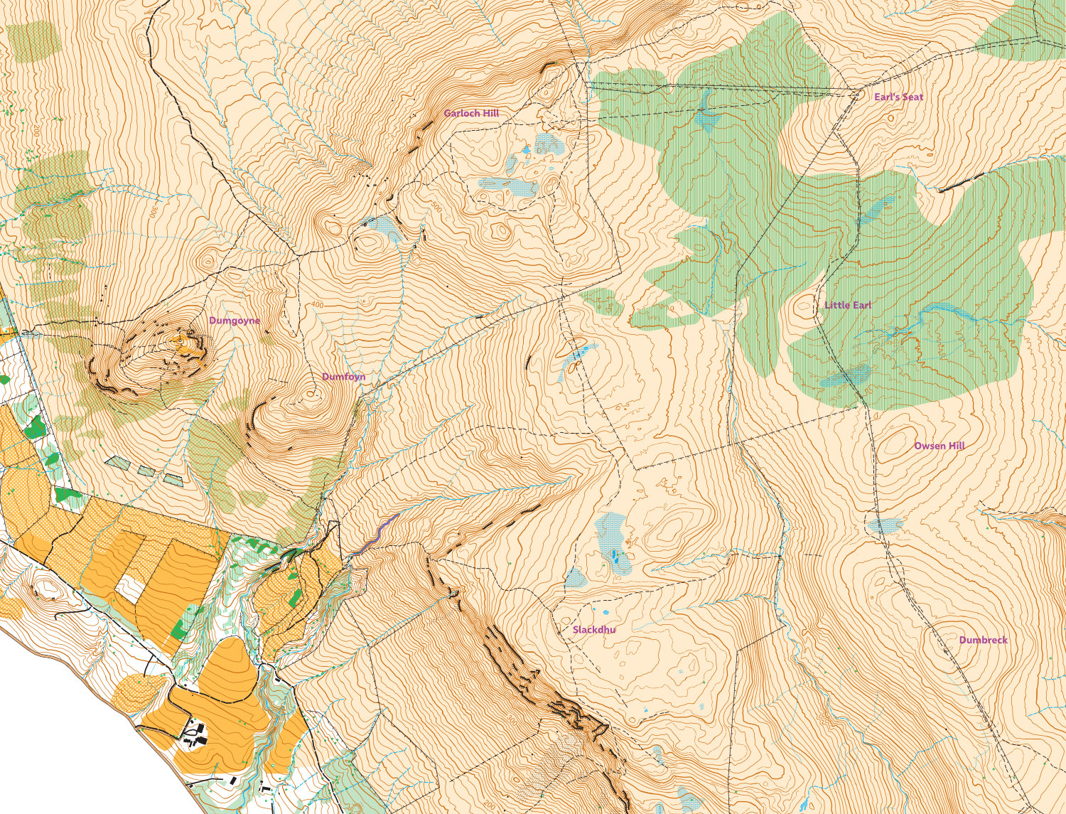
Campsies West orienteering maps including Dumgoyne long course
The Campsies West map is based on Phase 1 LiDAR data for Scotland and OS aerial photography, contour interval 5 m, scale 1:10,000, 1km OS grid. This map has not been checked in super detail except around Dumgoyne & Dumfoyne, so perfectly fine for hill running but not quite for orienteering (yet).
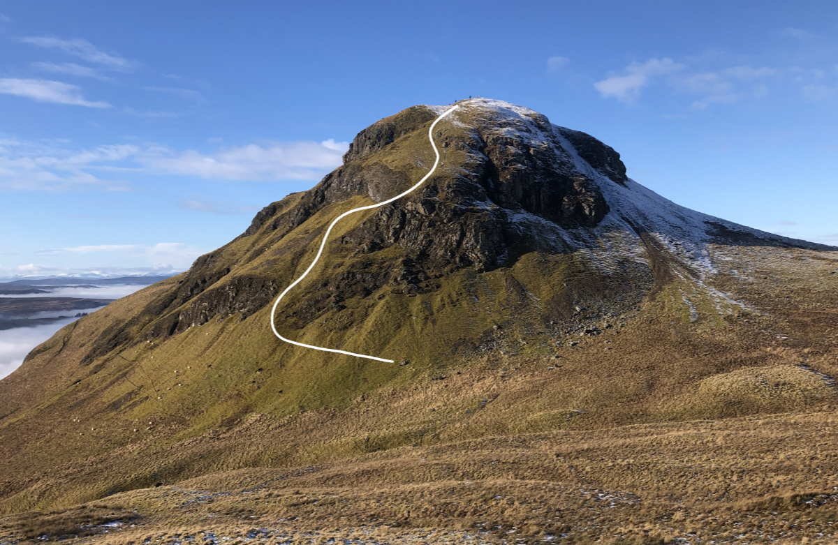
I have set out an orienteering course around Dumgoyne & Dumfoyne, which is on the SOA website (Dumgoyne Long), updated map below, and on MapRunF (in the location UK / Scotland / Glasgow / Dumgoyne long). The Dumgoyne orienteering map is also 1:10,000 / 5m but with 300m grid. The start of the course is above the Glengoyne distillery at NS 5348 8282. This course is a mix of orienteering and hill running, very rough & hard going, but suitable for summer & winter. The section between control 7 & 8 is very steep and exposed and probably not everybody's cup of tea (hint: study it from Dumfoyne and go through the grass to the left of the rock band...or look at the photo below). A fall above the rock band would be very unpleasant, so this should only be undertaken by experienced hill/fell runners. Used by GOAT/CLYDE on 11 March 2023.

My route up to control 8... (although one runner approached the rock band from the right):

