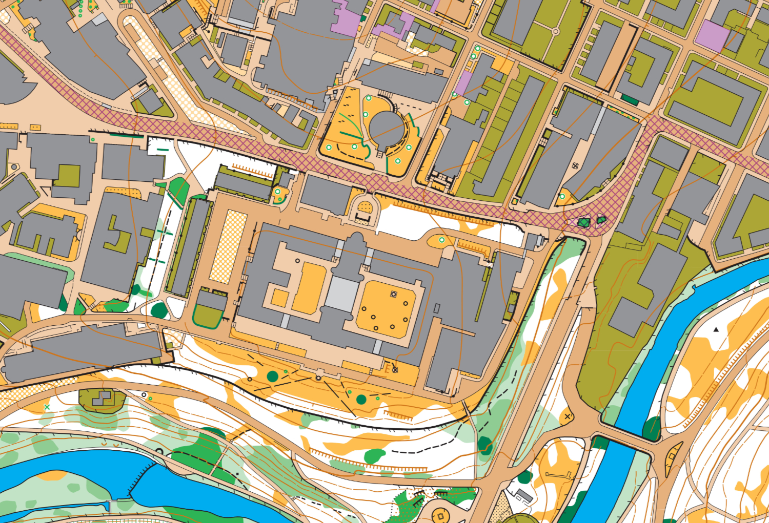
Kelvin South (University of Glasgow and Kelvingrove Park) orienteering map
The existing CLYDE map (made by Simon Gardner) was good but a bit wonky in places and a lot has changed on campus, so I decided that it might be faster to start from scratch using LiDAR data to get better definition in the park. Initial map was Kelvingrove Park and the University of Glasgow campus south of University Avenue, which was used for a CLYDE/GOAT evening event 13/10/22. The map was further extended north all the way to Byres Rd and Great Western Rd. Map is urban/sprint map to ISSprOM 2019-2.