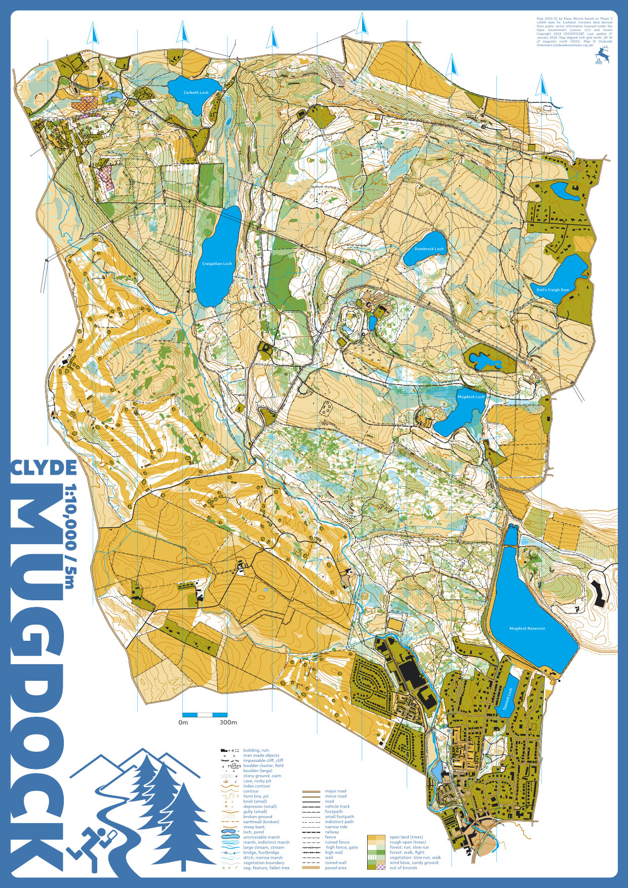
Mugdock Country Park, Dumbrock Woods, Craigallian Estate, and Carbeth orienteering maps
My oldest map started in March 2020...gone through many versions including a change from Open Orienteering mapper to OCAD and now based on LiDAR for Scotland Phase 3 and 5. Having steadily expanded, it now includes Mugdock Country Park, the Dumbrock area north of it, the Craigallian Estate and Carbeth area to the west, Milngavie Golf Course, and Hilton Park Golf Course to the south west. Finally used for two proper orienteering events by CLYDE in 2023 & 24.

